A Closer Look
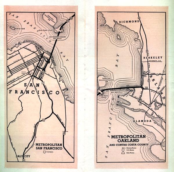
Inset maps of San Francisco and Oakland were included in the Bay Bridge brochure. Oddly, the Oakland map is labeled "Metropolitan Oakland and Contra Costa County". Most of the area shown is actually in Alameda County; just the Richmond area to the north of the map is in Contra Costa. Some of the major routes on the Oakland map have been renamed or reconfigured (for example, 38th Street seems to be an odd choice for an arterial route; it's certainly not much of one today).