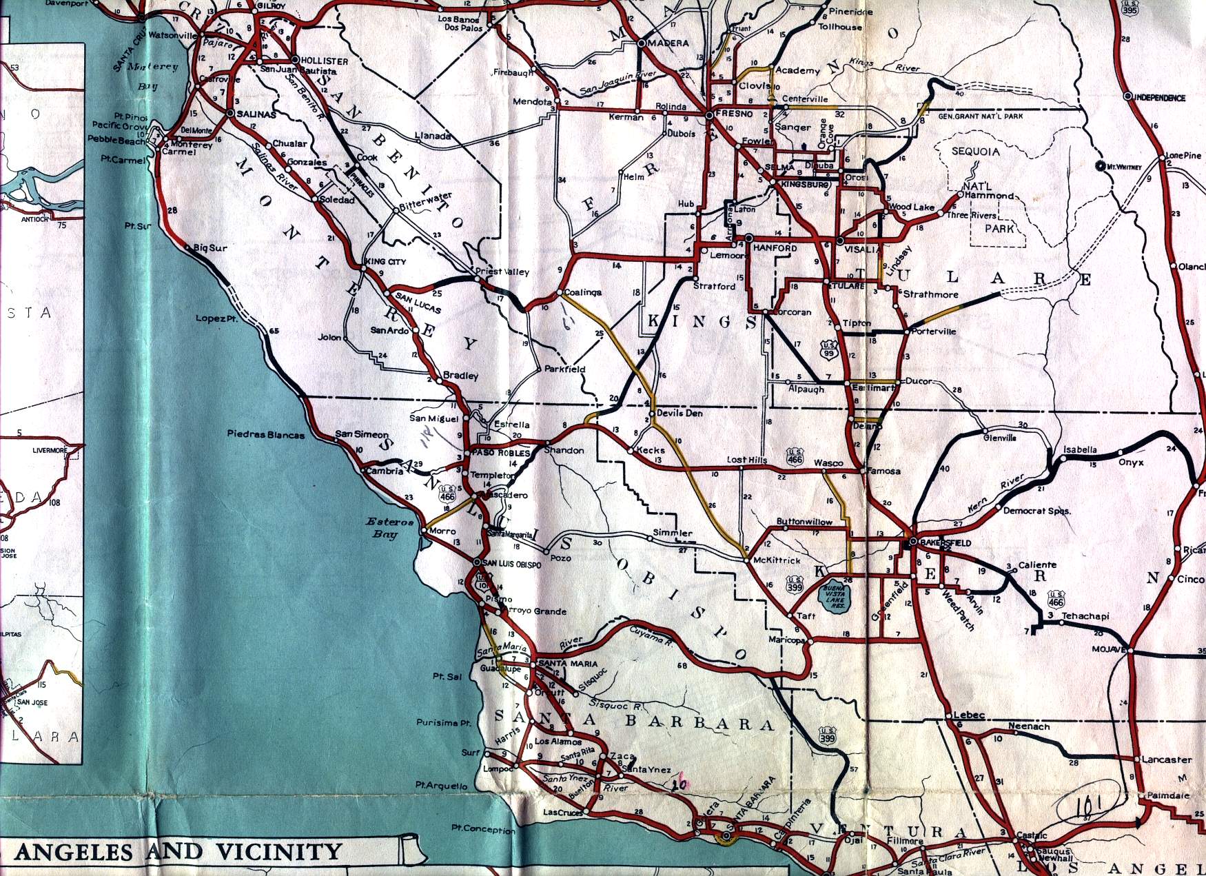
This section of the 1936 official California highway map shows the Central Coast, including Monterey, Salinas, Paso Robles, San Luis Obispo, Santa Maria, and Santa Barbara; and the middle section of the Central Valley, including Fresno, Tulare, and Bakersfield.