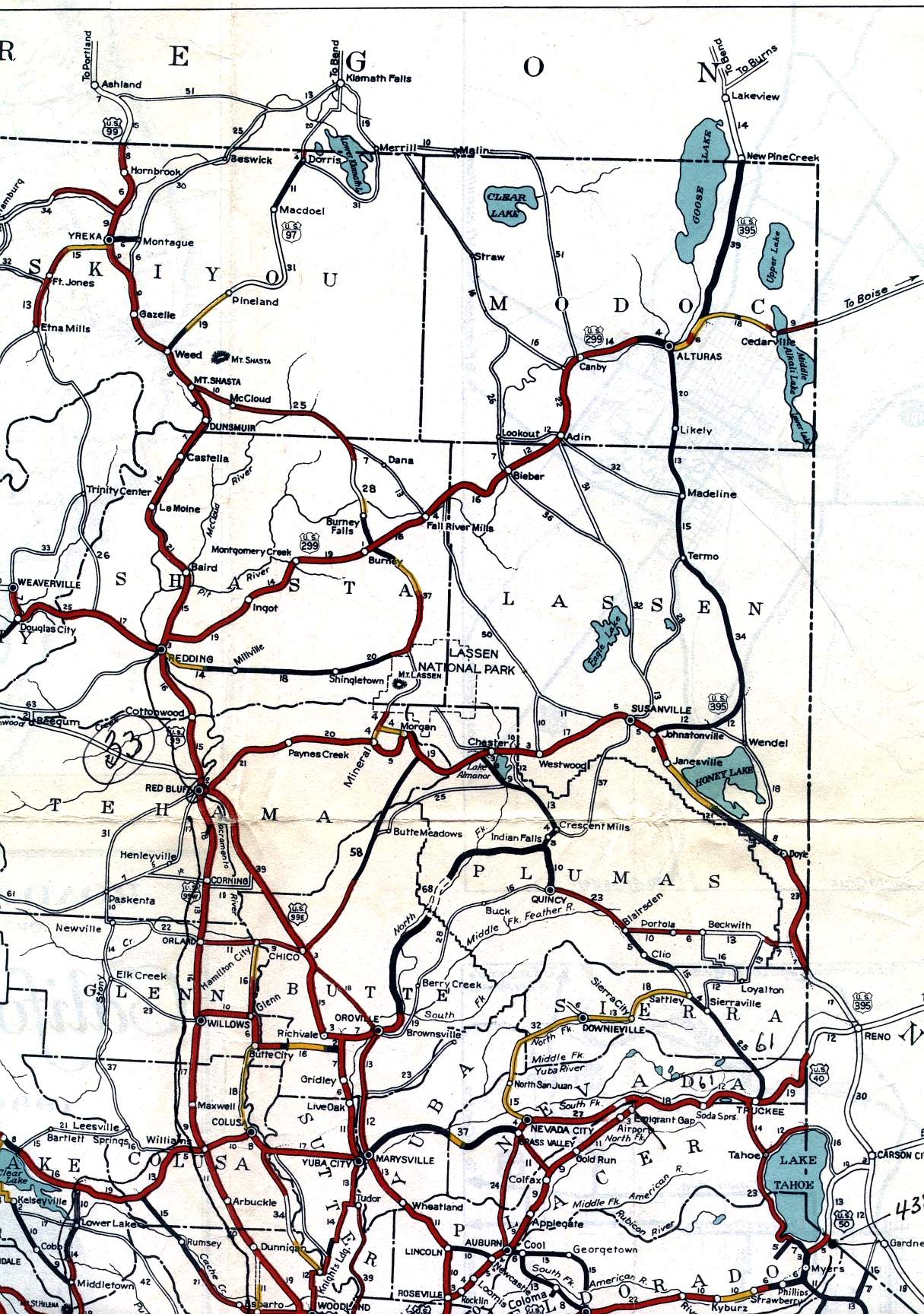
This section of the 1936 official California highway map shows the northeastern corner of the state, including Yreka, Alturas, and Susanville; as well cities at the northern end of the Central Valley such as Redding, Red Bluff, and Chico.
This section of the 1936 official California highway map shows the northeastern corner of the state, including Yreka, Alturas, and Susanville; as well cities at the northern end of the Central Valley such as Redding, Red Bluff, and Chico.