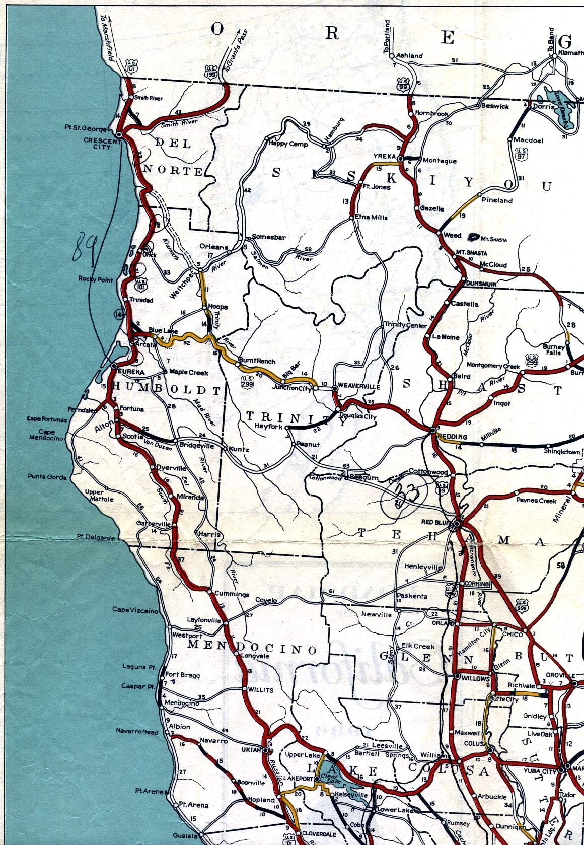
This section of the 1936 official California highway map shows the northwestern corner of the state, including Crescent City, Eureka, Ukiah, Yreka, Redding, and Red Bluff.
This section of the 1936 official California highway map shows the northwestern corner of the state, including Crescent City, Eureka, Ukiah, Yreka, Redding, and Red Bluff.