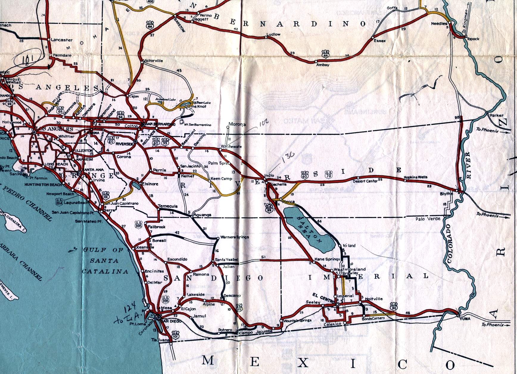
This section of the 1936 official California highway map shows the southernmost part of the state, including Orange, Riverside, San Diego, and Imperial counties.
This section of the 1936 official California highway map shows the southernmost part of the state, including Orange, Riverside, San Diego, and Imperial counties.