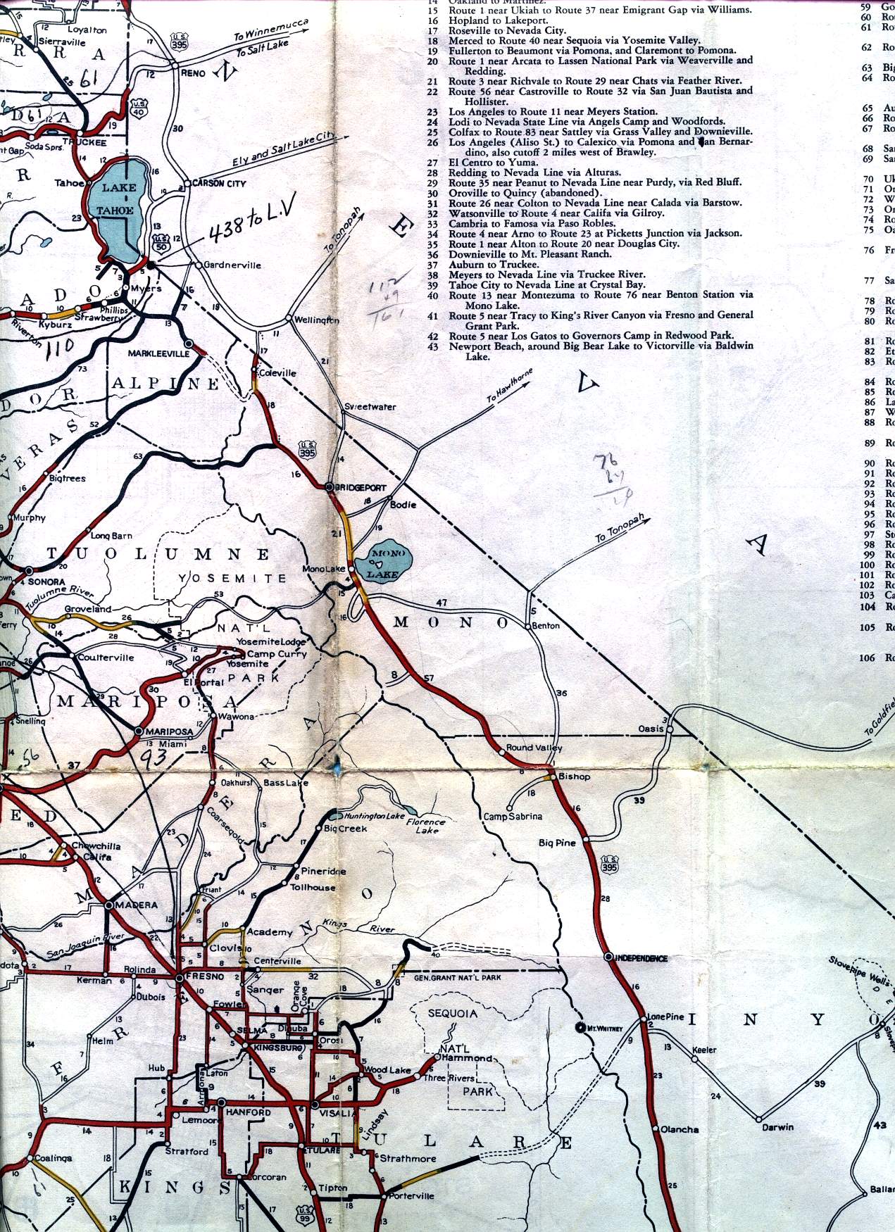
This section of the 1936 official California highway map shows the east-central portion of the state, including Lake Tahoe; the US 395 corridor through Bridgeport and Independence; and the section of the Central Valley around Fresno, Madera, and Tulare.