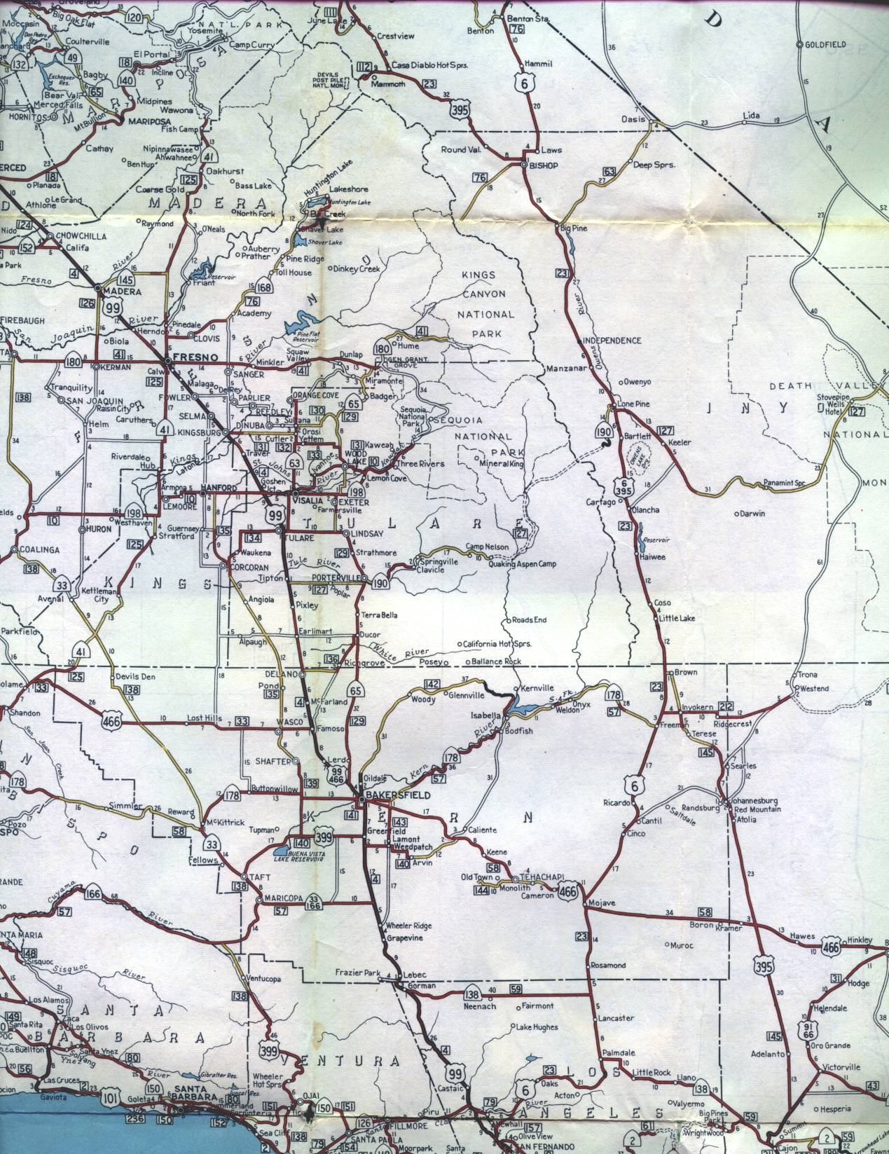
This section of the 1956 official California highway map shows the Central Valley, including Fresno and Bakersfield; and southern part of the Eastern Sierra region, including Bishop. Yosemite National Park is shown in the center of this segment.
This section of the 1956 official California highway map shows the Central Valley, including Fresno and Bakersfield; and southern part of the Eastern Sierra region, including Bishop. Yosemite National Park is shown in the center of this segment.