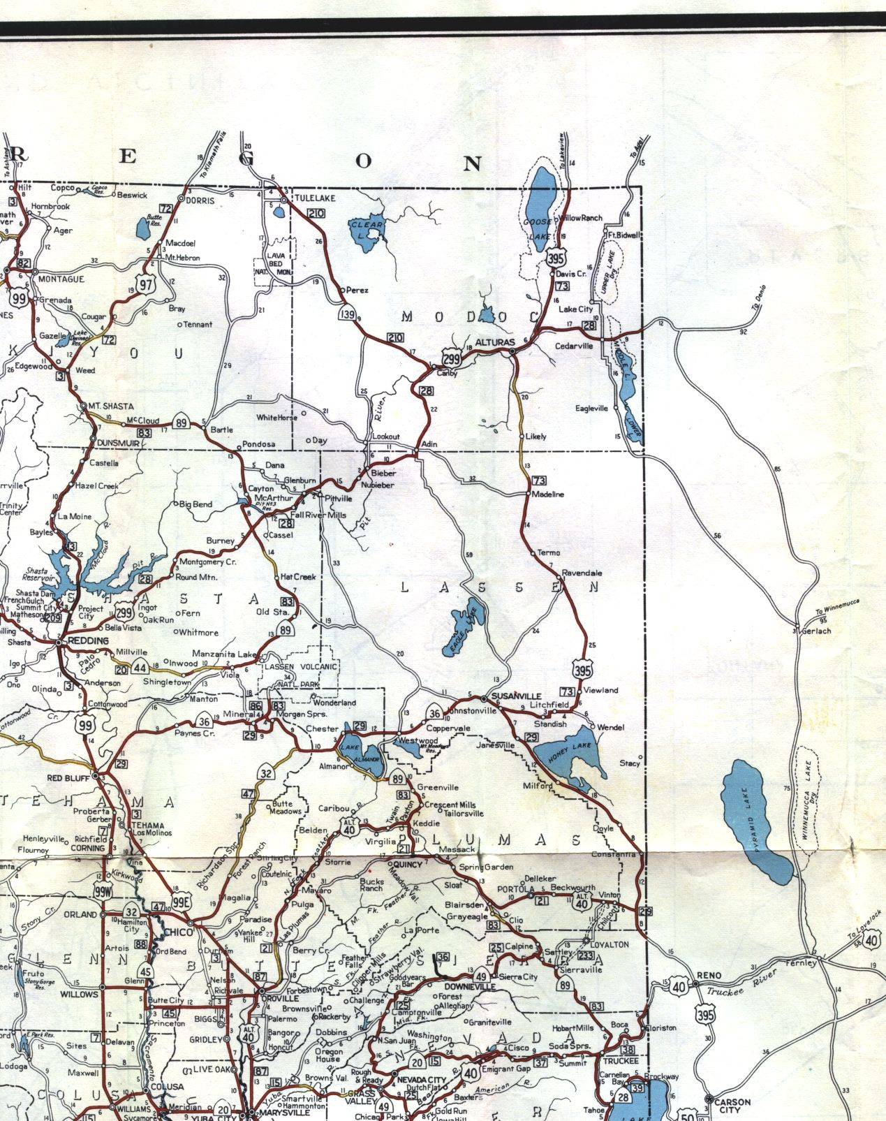
This section of the 1956 official California highway map shows the northeast corner of the state, including Alturas, Redding, and Chico.
This section of the 1956 official California highway map shows the northeast corner of the state, including Alturas, Redding, and Chico.