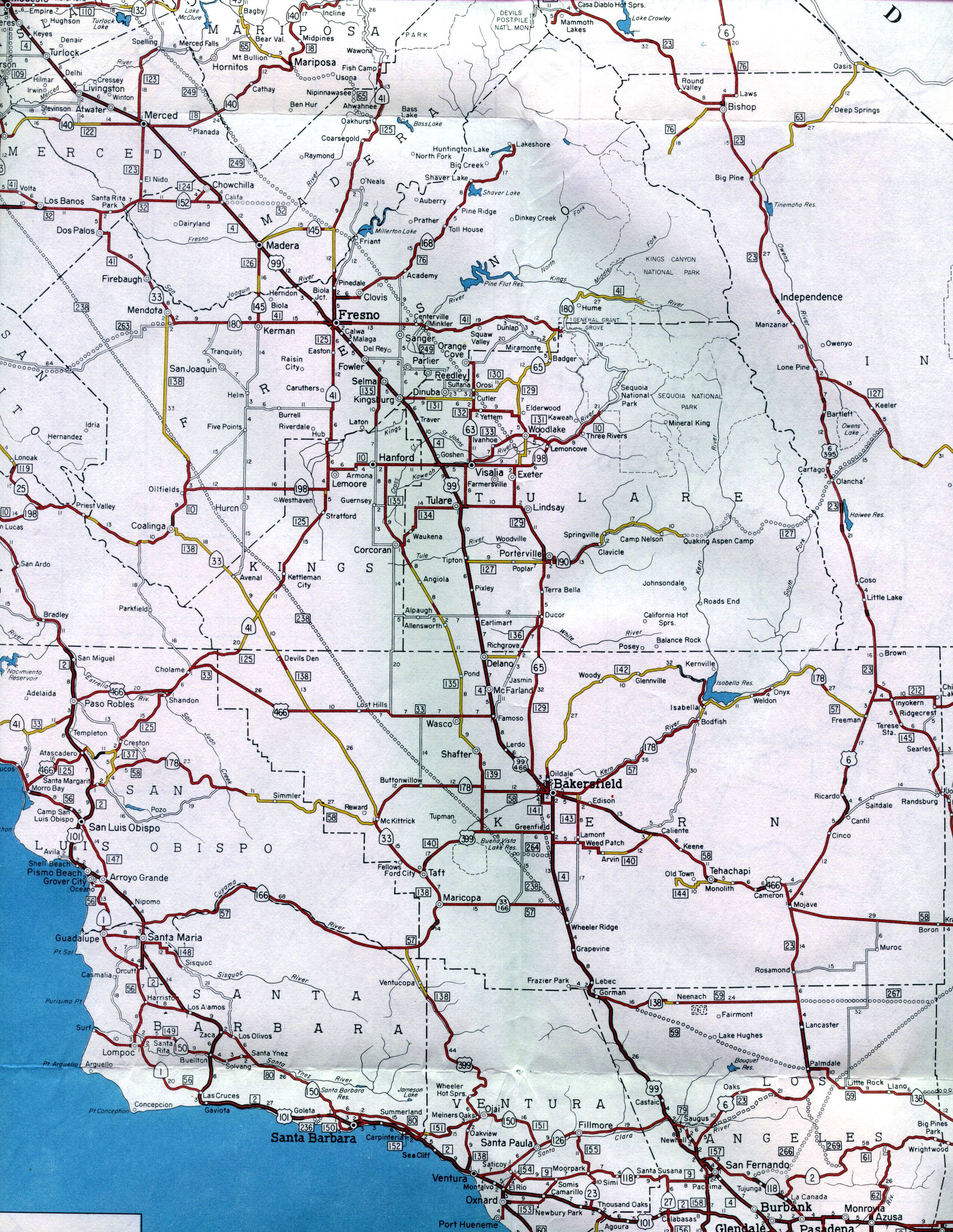
This section of the 1961 official California highway map shows the central and southern parts of the Central Valley, including Merced, Fresno, and Bakersfield. Also shown are portions of the central coast, including San Luis Obispo and Santa Barbara. On the east side of the map, the US 395 corridor on the east side of the Sierras are shown, including Bishop and Independence.