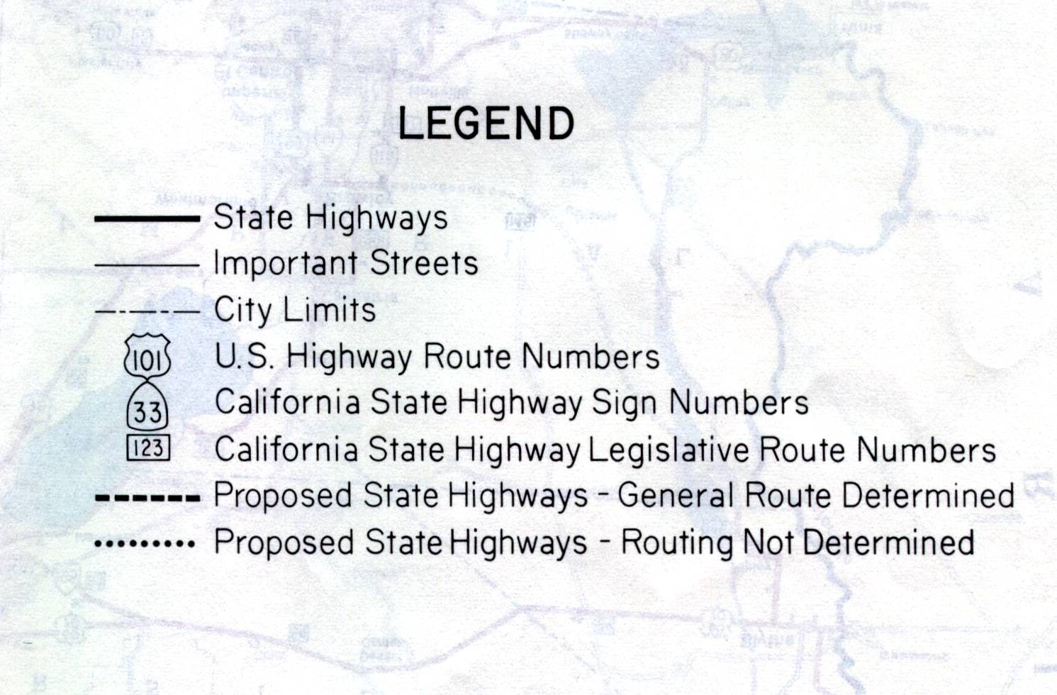
On the reverse side of the 1961 California official highway map, there were close-up maps of larger California cities. Proposed state routes were shown only by their legislative route numbers, which usually didn't correspond to the route numbers used in the field. Note the differentiation used: it wasn't a matter of whether a route was under construction; instead, it was a matter of whether a specific route had been laid out. Also note that freeways weren't clearly indicated on the maps. In most cases, interchanges weren't shown.