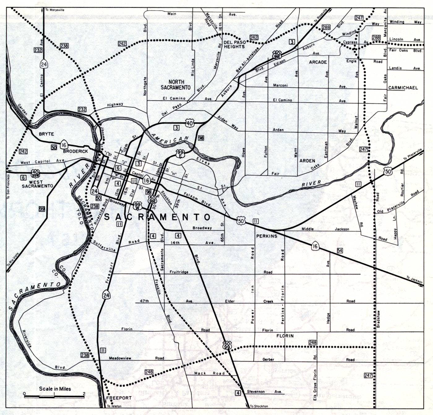
This inset map of Sacramento was on the back side of the 1961 official California highway map. The dotted route for what became Interstate 80 is easily seen. It's designated as legislative route numbers 242 and 288. Similarly, what's now Interstate 5 was shown here as legislative route number 238. Also note that California 24 went to, and through, Sacramento. It's now much shorter, ending in the San Francisco Bay Area at Interstate 680 in Walnut Creek.