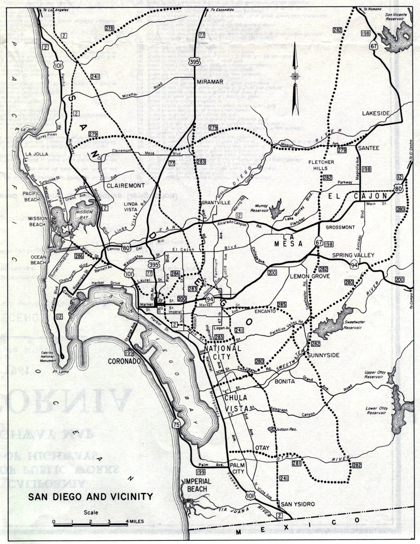
This inset map of San Diego was on the back side of the 1961 official California highway map. US 395 was a major route through San Diego at that time; it now ends much farther north, at Interstate 15 near Hesperia. And US 80 doesn't even go into California any more. Also note that the Coronado Bridge connecting Coronado with central San Diego through San Diego Bay had not yet been built. It opened in 1967.