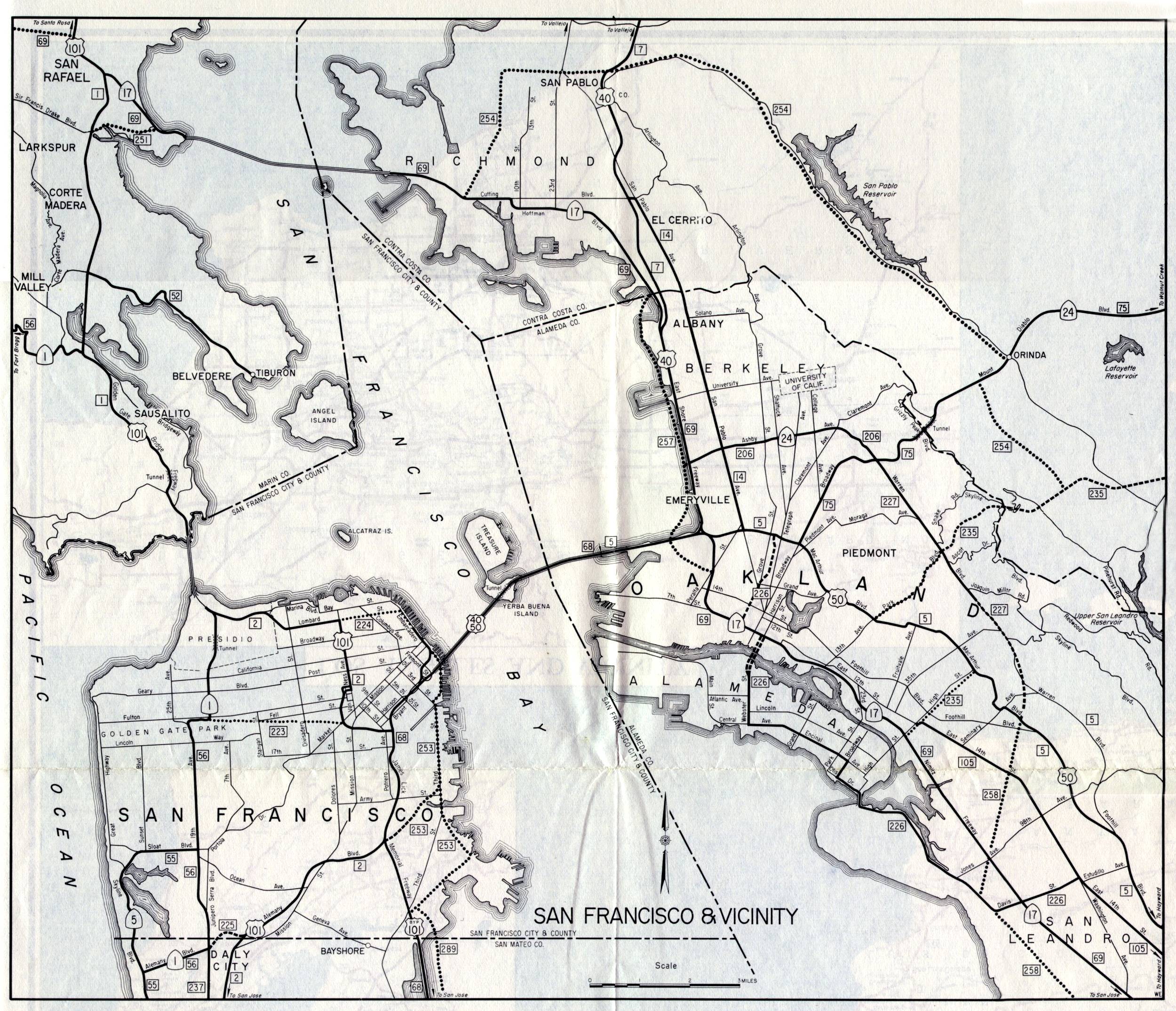
San Francisco and the East Bay were shown together on this inset map of the San Francisco Bay Region, on the back side of the 1961 official California highway map. Compared to the inset on the front side of the map, this one was in black and white. Compared to earlier versions, the San Mateo County part of the peninsula mostly isn't shown.
US 40 and US 50 are long gone, and Bypass US 101 is now just US 101. The Nimitz Freeway, now Interstate 880, is shown here as California 17. The Warren Freeway in Oakland made an appearance as Warren Boulevard, without a state route designation (but with a legislative route designation of 227). Legislative route number 235 would have been another highway through the Oakland hills into Contra Costa County in addition to California 24, but it was never built. The beginnings of the Grove-Shafter Freeway, now either Interstate 980 or California 24, can be see as legislative route number 226. In San Francisco, legislative route number 223 was never built. Legislative route 253 somewhat follows the route of the present Interstate 280, though Third Street itself was not affected by the ultimate routing of the freeway.