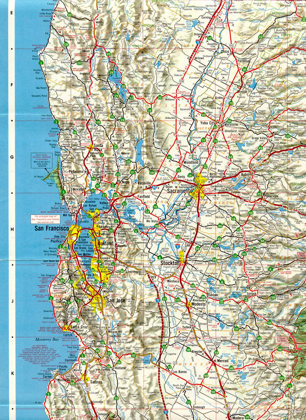
This section of the 1966 official California highway map shows the San Francisco Bay Area, Sacramento, and the northern part of the Central Valley. Of note in Yolo County is an unmarked route that appears to be a predecessor to Interstate 505.
This section of the 1966 official California highway map shows the San Francisco Bay Area, Sacramento, and the northern part of the Central Valley. Of note in Yolo County is an unmarked route that appears to be a predecessor to Interstate 505.