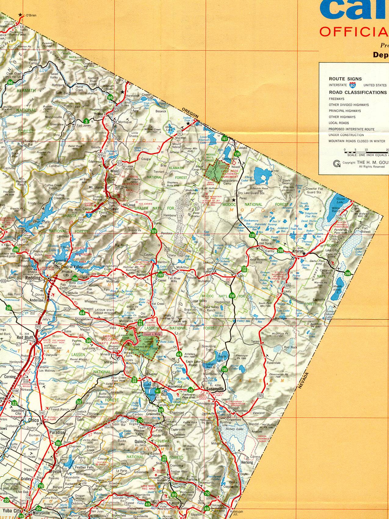
This section of the 1966 official California highway map shows the northeast corner of California, including Redding, the area around Mount Shasta, and Susanville.
This section of the 1966 official California highway map shows the northeast corner of California, including Redding, the area around Mount Shasta, and Susanville.