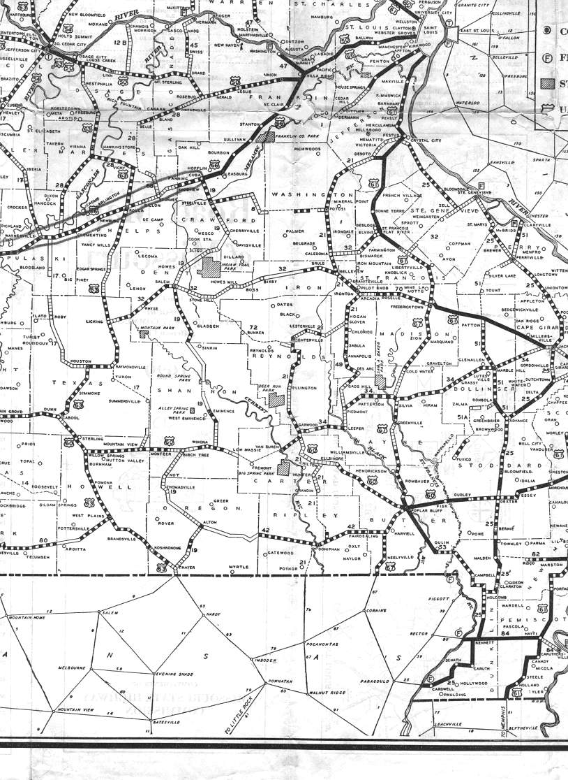
This section of the 1929 official road map shows the south-central part of Missouri, including Rolla, Ste. Genevieve, West Plains, and Poplar Bluff. The pencil mark on the map highlights US 66 from Lebanon (just off the left edge of this excerpt) to Cuba.