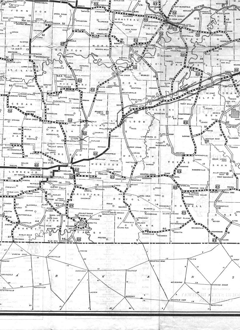
This section of the 1929 official road map shows the southwest and west-central parts of Missouri, including Springfield, Branson, and the area that would become the Lake of the Ozarks (note that Camdenton did not yet exist). The pencil mark on the map apparently highlights US 66 from Lebanon to Cuba.