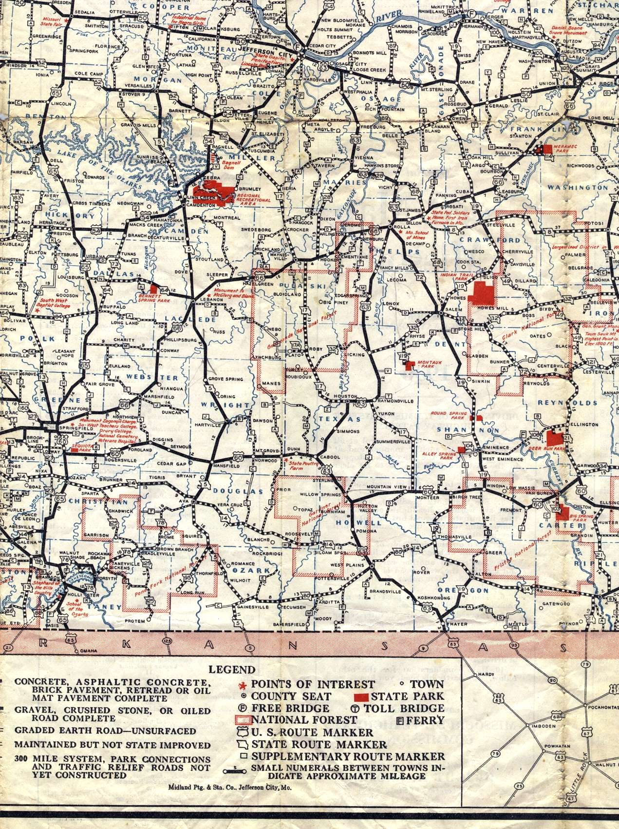
This section of the 1936 official highway map shows the south-central section of Missouri, including Rolla, the Lake of the Ozarks, Willow Springs, and West Plains. The legend for the map is also shown.
This section of the 1936 official highway map shows the south-central section of Missouri, including Rolla, the Lake of the Ozarks, Willow Springs, and West Plains. The legend for the map is also shown.