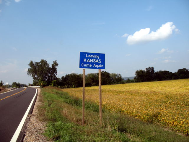
You have to go through Kansas to reach St. Joseph's Rosecrans Memorial Airport. The route to the airport, Kansas 238, ends just beyond this sign, photographed in September 2008. You can see a bridge at the highway curve in the background. That's the state border for the small section of Missouri where the airport is located. Flood control work after devastating floods in 1952 moved the Missouri River channel to the east of the airport (built in 1939), isolating it from the rest of St. Joseph and the state.
To get an idea of access routes to the airport before it was isolated, check out an inset map of St. Joseph from the 1948 official Missouri highway map.