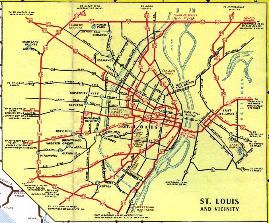
The inset map for St. Louis on the official Missouri highway map for 1940 shows what was later known as Lindbergh Boulevard making a bit loop around the Missouri side of the metropolitan area and into Illinois. US 66 actually went around St. Louis at the time; City Route 66 (CY 66) along Watson Road and Chippewa Avenue actually went into the city itself.