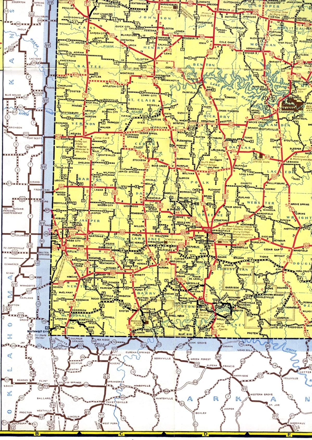
This section of the official highway map for 1940 shows the southwest corner of the state, including Carthage, Joplin, Nevada, Neosho, and Springfield. Much of the Lake of the Ozarks area also appears, though that area is more properly classified as being part of west-central Missouri.