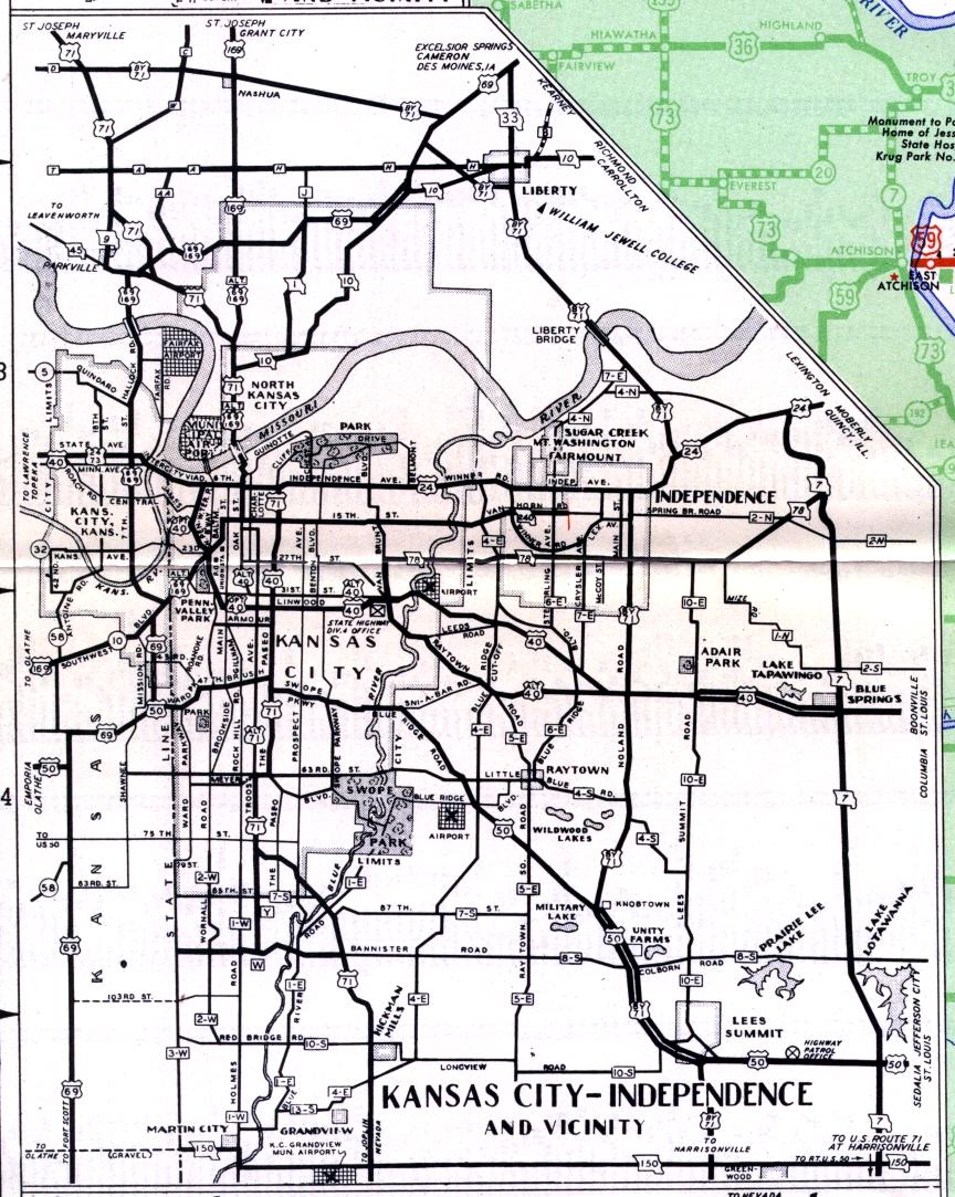
While this inset map from the official 1950 highway map covers the Kansas City metropolitan area, Independence also is prominently featured. Obviously, the Interstate highway system was not around then, and the Kansas side of the metropolitan area isn't shown much at all. Note the variety of "alternate" and "optional" routes, along with two segments of divided highway, along US 40 west of Blue Springs, and US 50 northwest of Lee's Summit. The Jackson County highway system designations were also shown on this map.