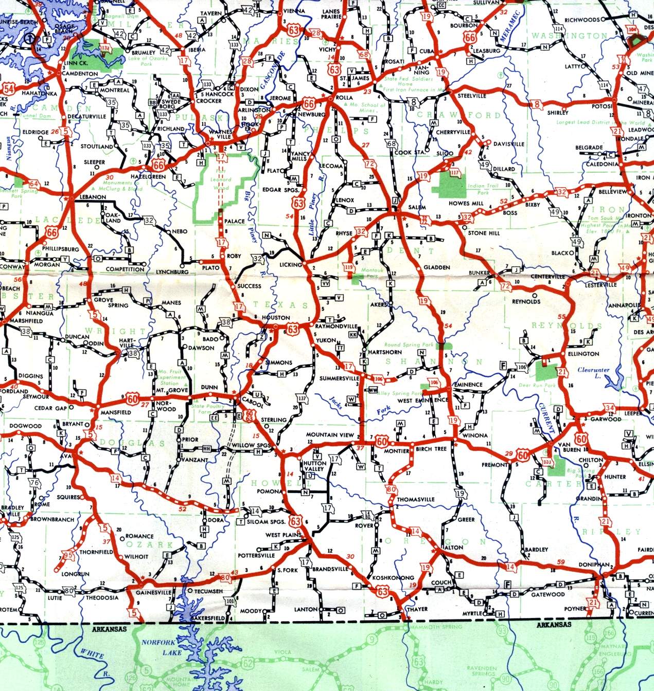
This section of the official highway map for 1950 shows the south-central region of Missouri, including Lebanon, Rolla, and Willow Springs. Also notice the dotted line through Fort Leonard Wood, indicating the pre-World War II route of Missouri 17, interrupted by the military base.