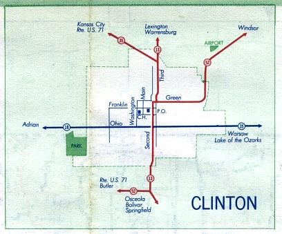
This is the inset map for Clinton from the 1958 official state highway map. Numbered routes shown on this map were Missouri 13 and Missouri 52 (in red); Missouri 18 (in dark blue); and Missouri 35 (in red northwest of Missouri 13 and dark blue east of Missouri 13). There was a triple concurrence of Missouri 13, 35, and 52 in much of Clinton.