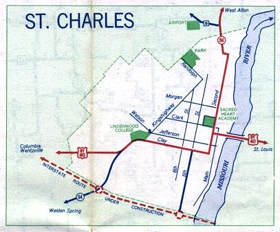
This is the inset map for St. Charles from the 1958 official state highway map. Two numbered routes were shown on this map, Bypass US 40 (in red) and Missouri 94 (in red along Second Street in St. Charles and in dark blue southwest of Bypass US 40). The future route of Interstate 70 was also shown (with the red dotted line). It opened the next year as one of the first Interstate highway segments to be built in the United States.