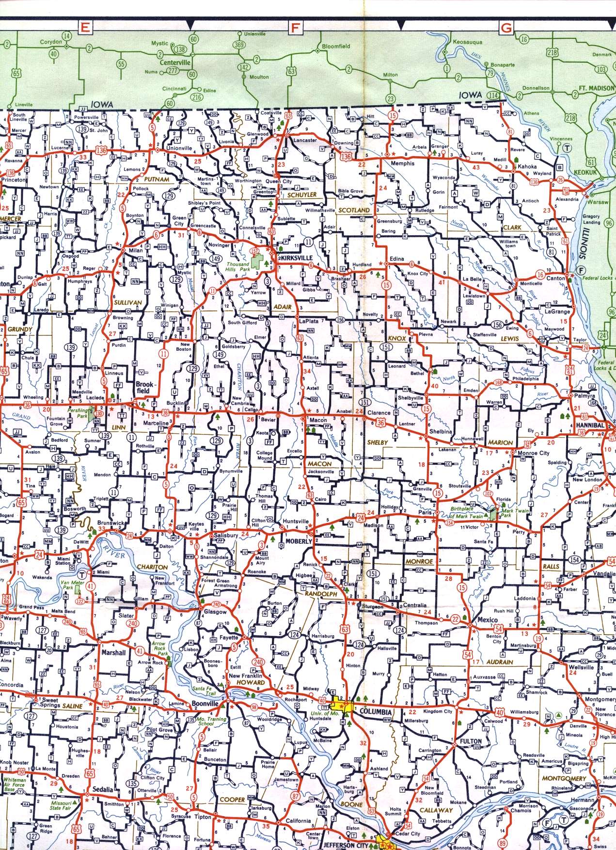
This section of the 1958 official highway map shows the northeastern part of the state, including Brookfield, Kirksville, Macon, Moberly, Mexico, and Columbia.
This section of the 1958 official highway map shows the northeastern part of the state, including Brookfield, Kirksville, Macon, Moberly, Mexico, and Columbia.