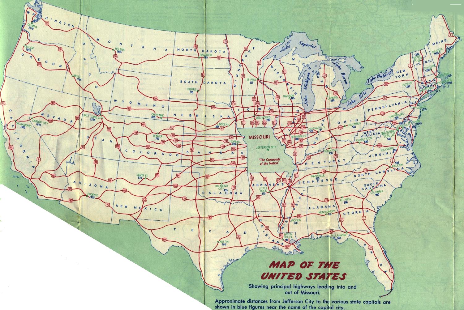
The reverse side of the 1956 official map featured a map of U.S. highways leading into and out of Missouri. There was no such map in 1957, but in 1958, it was again a part of the official map. It's not a map of all U.S. routes, but it does show the major routes connecting Missouri to the other states. Only state capitals are shown on this map. Mileages displayed are calculated from Jefferson City.