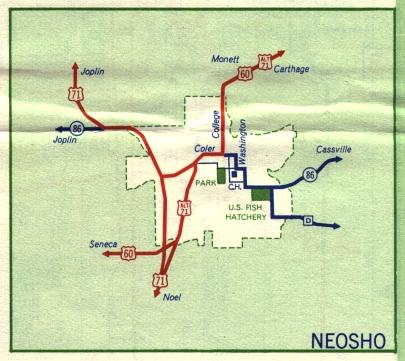
This is the inset map for Neosho from the 1959 official state highway map. Numbered routes shown on this map were US 60, US 71, and Alternate US 71 (in red); and Missouri 86 (in dark blue).
Compared to the 1958 inset map of Neosho, the 1959 map covered a smaller area, not showing the small town of Granby along US 60 northeast of Neosho.