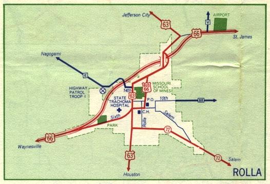
This is the inset map for Rolla from the 1959 official state highway map. Numbered routes shown on this map were US 63, US 66, City Route 66, and Missouri 72.
Between 1958 and 1959, Route BB east of Rolla had been paved. Another supplemental route, Route E, that had been partially paved in 1958 was shown in 1959 as a route that was entirely paved, at least within the area covered by the Rolla inset.