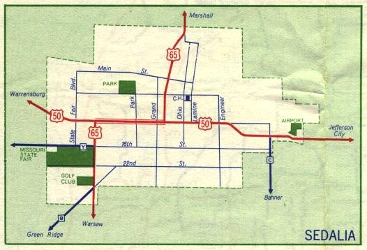
This is the inset map for Sedalia from the 1959 official state highway map. Two numbered routes were shown on this map, US 50 and US 65 (in red).
Between 1958 and 1959, all three supplemental routes in Sedalia (Routes Y, B, and C) had been paved.
This is the inset map for Sedalia from the 1959 official state highway map. Two numbered routes were shown on this map, US 50 and US 65 (in red).
Between 1958 and 1959, all three supplemental routes in Sedalia (Routes Y, B, and C) had been paved.