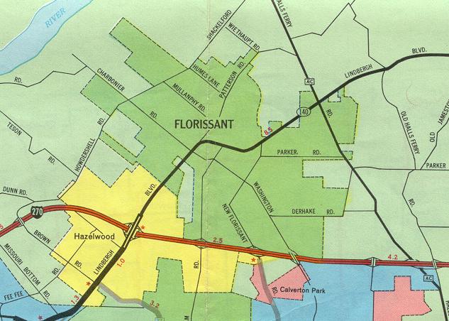
This part of the inset map for St. Louis from the 1969 official state highway map centers on the North County area, specifically Florissant and Hazelwood. Changes since 1969 include the rerouting of US 67 along Lindbergh Boulevard, replacing Missouri 140, and the construction of Interstate 170, whose northern endpoint is at Interstate 270 about a mile east of Lindbergh. For more details, see the St. Louis inset map.