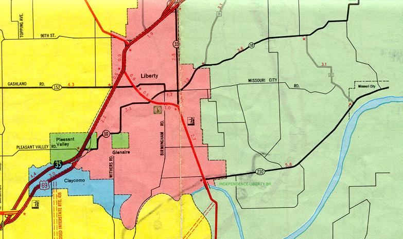
This section of the inset map for Kansas City from the 1969 official state highway map shows Liberty. The following are among the changes since 1969:
- Interstate 35 replaced the US 69 expressway northeast of Claycomo. US 69 and Interstate 35 now run concurrently along that segment.
- Missouri 10 was decommissioned from Excelsior Springs (off this map) westward. The road is now Route H.
- The route shown here in the fat red line was Bypass US 71. It is now Missouri 291.
- The Missouri 210 freeway (the dotted line west of Bypass US 71) has been built.
For more details, see the Kansas City inset map.