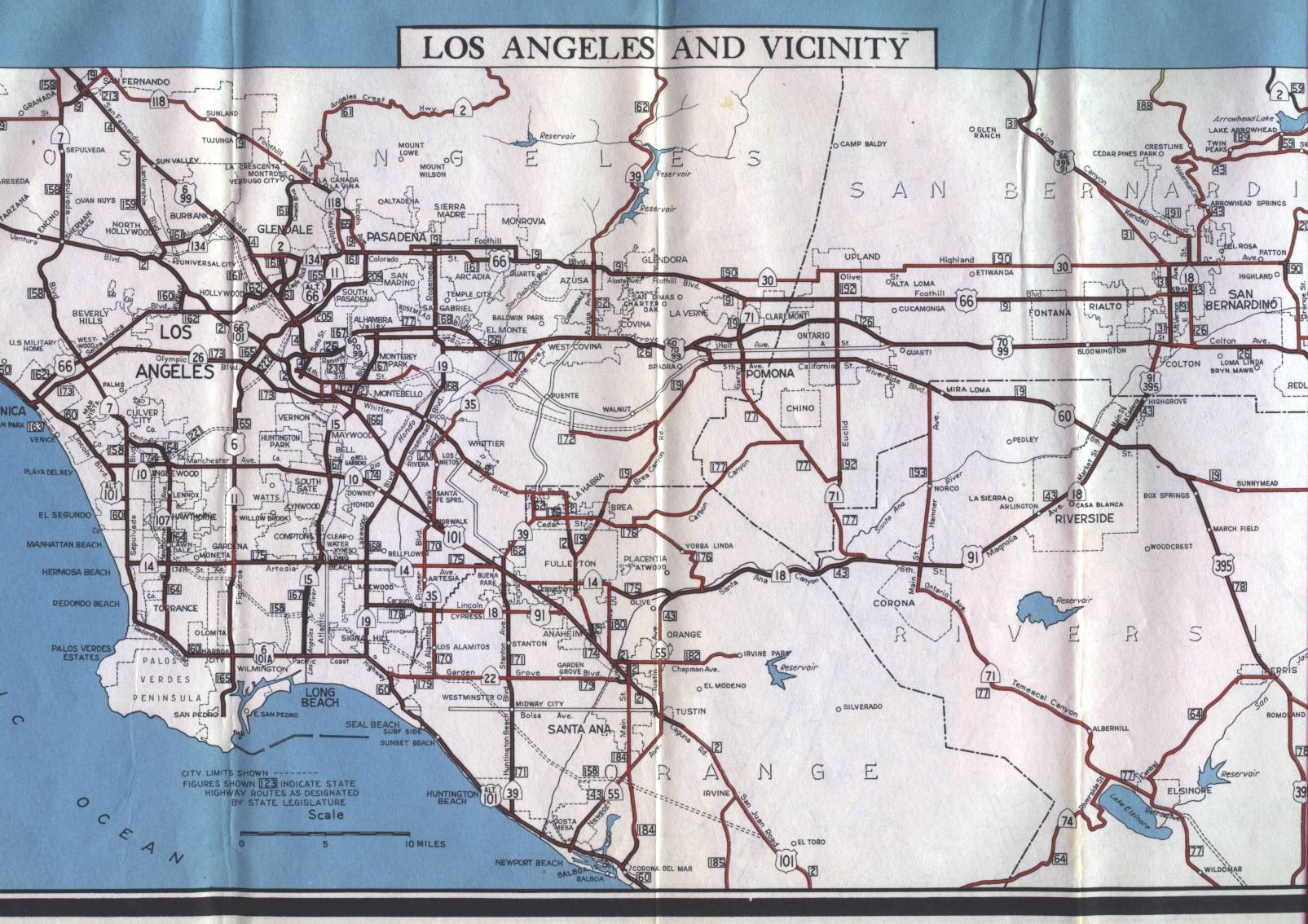
This is the inset map for Los Angeles from the 1956 official California highway map. This inset was on the front of the map along with the map of the entire state. The inset map was slightly too wide for the scanner that I was using, but this scan does show more than 95% of the inset.
On the rear of the map, there is a more detailed map of major routes of the central Los Angeles area.