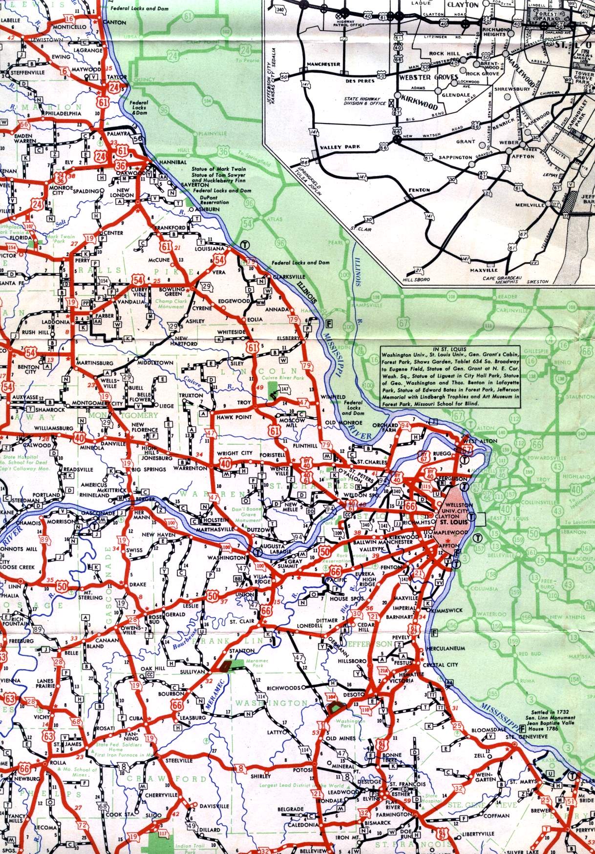
This section of the official highway map for 1950 shows the east-central section of Missouri, including St. Charles; St. Louis; Washington; and the Bonne Terre, Flat River, and Farmington vicinity.
This section of the official highway map for 1950 shows the east-central section of Missouri, including St. Charles; St. Louis; Washington; and the Bonne Terre, Flat River, and Farmington vicinity.