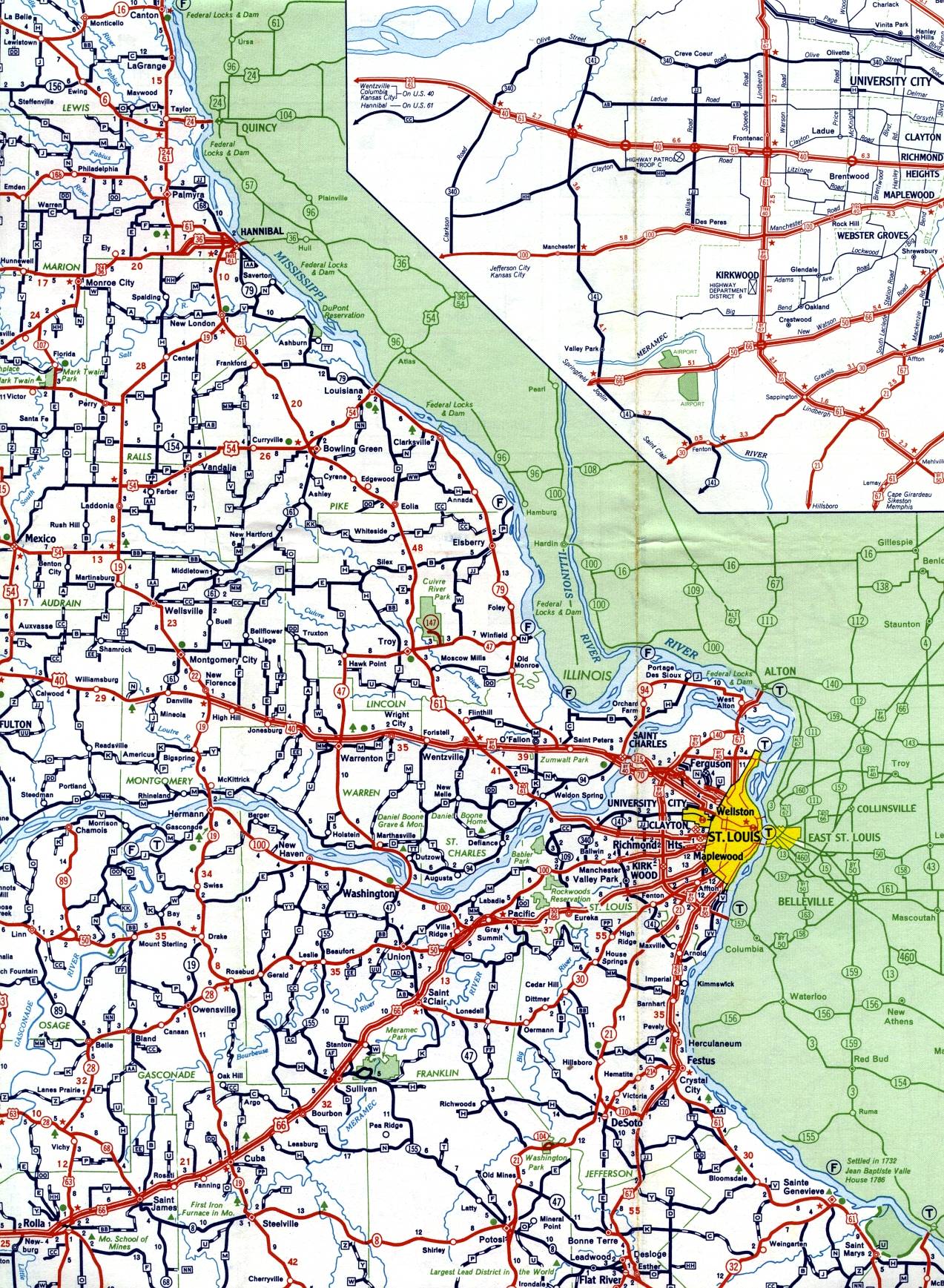
This section of the 1959 official highway map shows the east-central portion of Missouri, including Hannibal, Mexico, St. Charles, St. Louis, and Washington.
Interstate 70 makes its first appearance in St. Charles and northwest St. Louis County (see the insets linked in the previous paragraph for more details).