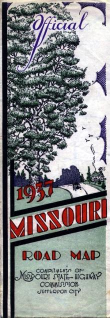
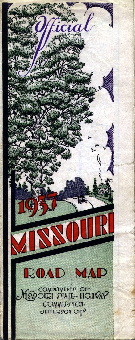
The 1937 cover's design reflects the art and lettering of the time. The scene itself may be a little generic, but it was still a striking change from the maps of previous years. A larger-sized scan of the cover is here.
While drawing the line between historic maps and more modern Missouri highway maps can result in an arbitrary boundary, the 1937 official highway map introduced several notable changes. The main map of Missouri was printed with a true four-color process (the 1936 map did not have green or related colors). The 1937 map was also the first map with a full-color design on the cover.
In addition, while inset maps of the Kansas City and St. Louis metropolitan areas had been incorporated into previous editions of the official highway maps, the 1937 map was the first to place the insets on the back side of the map. The insets included far more detail than previous available, though they reverted to being in black and white.
From this page, you can access fair use excerpts of the map. Due to its age, the folds are noticeable, but the map itself is actually in very good condition.
Note: These are huge scans, running up to 400 or 500 KB in size. Such large file sizes were necessary in order to show the detail that this map provides. The areas shown by the scans overlap.
Route Logs
Also included in the map, carried over from earlier years, were route logs of the US routes in Missouri. The logs show the mileage between notable cities, as well as the major routes intersecting the highways.