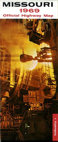
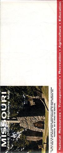
The 1969 map cover featured commerce and industry. The front cover is at the top; the back cover, with space for name and address, is at the bottom.
The 1969 official Missouri highway map had the five-color printing scheme (the usual four colors plus gray for supplemental routes) that was typical of Missouri highway maps starting with the 1964 edition.
I'm featuring this map because it was the last edition to have up to 37 inset maps, showing key streets and roads of some of the smaller cities in Missouri. After 1969, the larger Missouri cities - Cape Girardeau, Columbia, Jefferson City, Joplin, Kansas City, St. Joseph, and St. Louis - continued to be shown in more detail in inset maps on the back side of the highway map. But smaller cities such as Boonville, Chillicothe, Kennett, Nevada, and even Hannibal, were no longer shown with the greater detail possible in the inset maps.
From this page, you can access fair use excerpts from the maps. The first version of this page featured only the insets because it was scanned from my first copy of the map. in a bout of preadolescent poor judgment, I drew on the main highway map. So I could only show the insets. Moreover, the folds on the map were noticeable and the map was generally fragile. Subsequently I obtained a better copy of the map and scanned it for this version of the page, where I can now show the front as well as the back of the map. The color quality varies between the front and the back. I have tried to correct for those variations as best as I could, but the more recently obtained copy of the map really does have more vivid colors.
Also note that scans from the front of the map may range up to 630 MB in size. The map excerpts are scanned at full size to show all the detail available. The areas shown by the excerpts overlap.
The design of this page was modified January 22, 2021 in order to deal with layout issues that were encountered in some browsers.
- Ballwin
- Boonville
- Bridgeton
(section of St. Louis County map) - Brookfield
- Cape Girardeau
- Carthage
- Caruthersville
- Charleston
- Chillicothe
- Clinton
- Columbia
- De Soto
- Dexter
- Excelsior Springs
- Festus-Crystal City
- Flat River and Farmington
Flat River is now Park Hills - Florissant and Hazelwood
(section of St. Louis map) - Fulton
- Hannibal
- Independence
(section of Kansas City map) - Jefferson City
- Joplin
- Kansas City
- Kennett
- Kirksville
- Lebanon
- Lee's Summit
(section of Kansas City map) - Lexington
- Liberty
(section of Kansas City map) - Macon
- Malden
- Marshall
- Maryville
- Mexico
- Moberly
- Monett
- Neosho
- Nevada
- Perryville
- Poplar Bluff
- Rolla
- Sedalia
- Sikeston
- South St. Louis
County
(section of St. Louis map) - Springfield
- St. Charles
- St. Joseph
- St. Louis
- Trenton
- Warrensburg
- Washington
- West Plains
- West St. Louis County
(section of St. Louis map) - Willow Springs
Denver, Colorado
E-mail: Please see the Contact Information page.