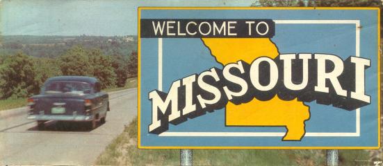
The 1956 official Missouri highway map (front cover, left) had a more modern appearance compared to earlier maps such as the 1952 highway map. The color scheme of dark blue for most routes and red for primary routes, which began on the 1954 official map, continued in use until 1963.
There were a couple of particularly notable things about this map.
First, there was a map of the United States on the back side of the map. Similar maps were included on the official maps in the 1950s, beginning with the 1954 edition and ending with the 1960 edition of the official map.
The other thing of note was the lack of inset maps for smaller Missouri cities. The next year, in 1957, inset maps were included once again on the official map. But in 1956, only Kansas City and St. Louis got detailed treatment.
From this page, you can access fair use excerpts of the map. Due to its age, the folds are noticeable, but the map itself is actually in very good condition.
Note: These are huge scans, running up to 700 KB. This was necessary in order to show the detail that this map provides. The areas shown by the scans overlap.
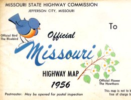
The back cover of the map included space for a mailing address, and featured the state bird, the bluebird, and the state flower, the hawthorn.
Denver, Colorado
E-mail: Please see the Contact Information page.