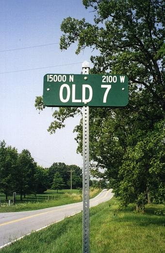
The major routes shown on the Centennial Road System map in the 1923-24 Missouri State Manual are largely the same highways that form the backbone of Missouri's road network today. This page lets you look up Centennial route numbers and find their modern-day equivalent routes.
Search Centennial Highways
Use this program to search for today's highways corresponding to a Centennial number you specify. Note that Centennial numbers range from 1 to 98.
Find Centennial Highways
Use this program to find the Centennial highway number matching an Interstate, US, or Missouri route number that you specify.
Centennial System Maps
You can see a large scan (236K) of the map of the Centennial Road System, as authorized by the Missouri Legislature's 1921 special session, shown in the Missouri State Manual for 1923-24, published by Secretary of State Charles U. Becker.You can also see the original 1922 system map (430K) as approved by the Missouri Highway Commission (contributed by David Backlin).
Both maps have been used in compiling this route log. The 1923 map was the primary source. The 1922 map shows some routes that were not marked on the 1923 map. Other early official road maps from 1926 to 1932 were used to confirm and validate entries in this route log.
Denver, Colorado
E-mail: Please see the Contact Information page.