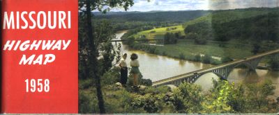
The 1958 official Missouri highway map (front cover, left) was the last official map published before the Interstate highway system began appearing on the state map the next year. Even so, there already were indications of the freeway system to come, with Interstate routes shown under construction on the Columbia and St. Charles inset maps.
The color scheme of dark blue for most routes and red for primary routes used, which began with the 1954 map, continued on the 1958 map. See the map legend for more details.
There was also a map of the United States on the back side of the map, similar to the map on the reverse of the 1956 map.
There was also a diagram explaining new speed limits that went into effect in 1958. These limits were superseded by the National Maximum Speed Law in 1974. When that law was repealed in 1995, Missouri adopted a different set of speed limits, more dependent upon the actual condition of the roadway rather than the classification of the route as a US or state highway. Separate daytime and nighttime limits are no longer in use.
From this page, you can access fair use excerpts of the map. Due to its age, the folds are noticeable, but the map itself is actually in very good condition.
Tech Trivia: These are huge scans, running up to 700 KB. This was necessary in order to show the detail that this map provides. The areas shown by the scans overlap.
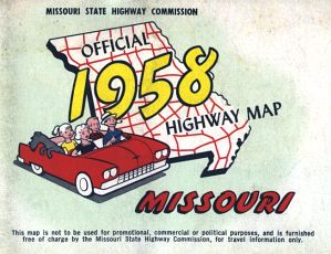
The back cover of the map included space for a mailing address, and featured a stylized map of the state highway system along with a drawing of a family on a trip in a convertible.
The 1958 insets were of several sizes. The smallest cities were shown with the smallest insets. Because many of the insets did not scan particularly clearly, I have written on each page showing an inset a description of the numbered routes shown on the inset map. I've done this for all inset maps, including the larger ones. The following cities had inset maps on the 1958 map (fair use excerpts):
Denver, Colorado
E-mail: Please see the Contact Information page.